
About LRMIS
LRMIS PURPOSE
The purpose of LRMIS is to systematically monitor, analyse and forecast the status of land resources use in Lithuania, to identify changes arising from anthropogenic impacts, to provide an evidence base for measures promoting rational land use and environmental improvement, and to make statistical information available to users.
TASK OF LRMIS
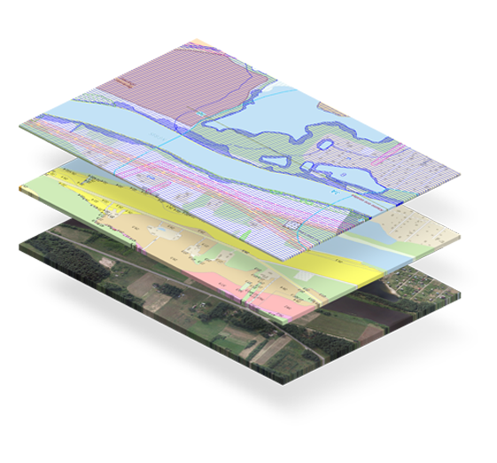
Using information technologies, to create and develop spatial data sets (referred to as Land Spatial Data Sets) and maps that compile and present information on, areas of abandoned land; areas of drained land, the condition of drained land areas, the spatial distribution of soils and their physical and agrochemical properties, and other characteristics that influence land use.
LRMIS FUNCTIONS
- to manage Spatial Land Data Sets containing information on:
- reclaimed agricultural land areas and their condition;
- land reclamation structures;
- implemented land reclamation projects;
- soil distribution;
- physical and agrochemical soil properties;
- abandoned land areas;
- other land characteristics affecting land use.
- to monitor the use and protection of agricultural land;
- to create and manage metadata for Spatial Land Data Sets;
- to ensure the interoperability of ŽISIS with state registers (cadastres), state information systems and other information systems;
- to ensure access to Spatial Land Data Sets and their metadata;
- to provide electronic services for the analysis of Spatial Land Data Sets.
Atnaujinimo data: 2026-04-28