LAND RESOURCE MONITORING INFORMATION SYSTEM (LRMIS)
The purpose of LRMIS is to systematically monitor, analyze, and forecast the condition of land resources, identify changes caused by anthropogenic impact, and substantiate measures for rational land use along with environmental improvement.
The Mel_DR10LT is a spatial dataset of land reclamation condition and waterlogging that covers the territory of the Republic of Lithuania at a scale of 1:10,000 (M 1:10 000)
Žemės išteklių stebėsenos informacinės sistemos (toliau – ŽISIS) internetinėje svetainėje pateikta praktinė medžiaga, skirta melioruotos žemės ir melioracijos statinių būklės erdvinių duomenų rinkinio Mel_DR2LT tvarkymui. Medžiaga parengta siekiant užtikrinti vieningą Mel_DR2LT duomenų rinkinio tvarkymo praktiką ir palengvinti darbą duomenis tvarkantiems specialistams. Aprašo tikslas
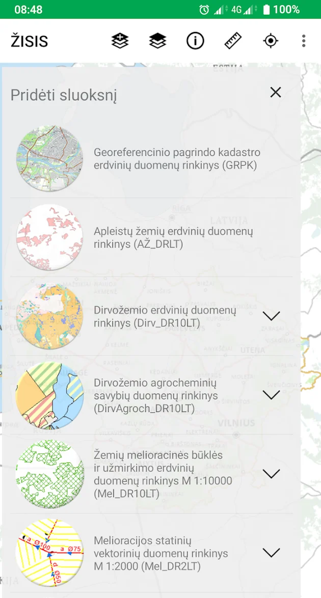
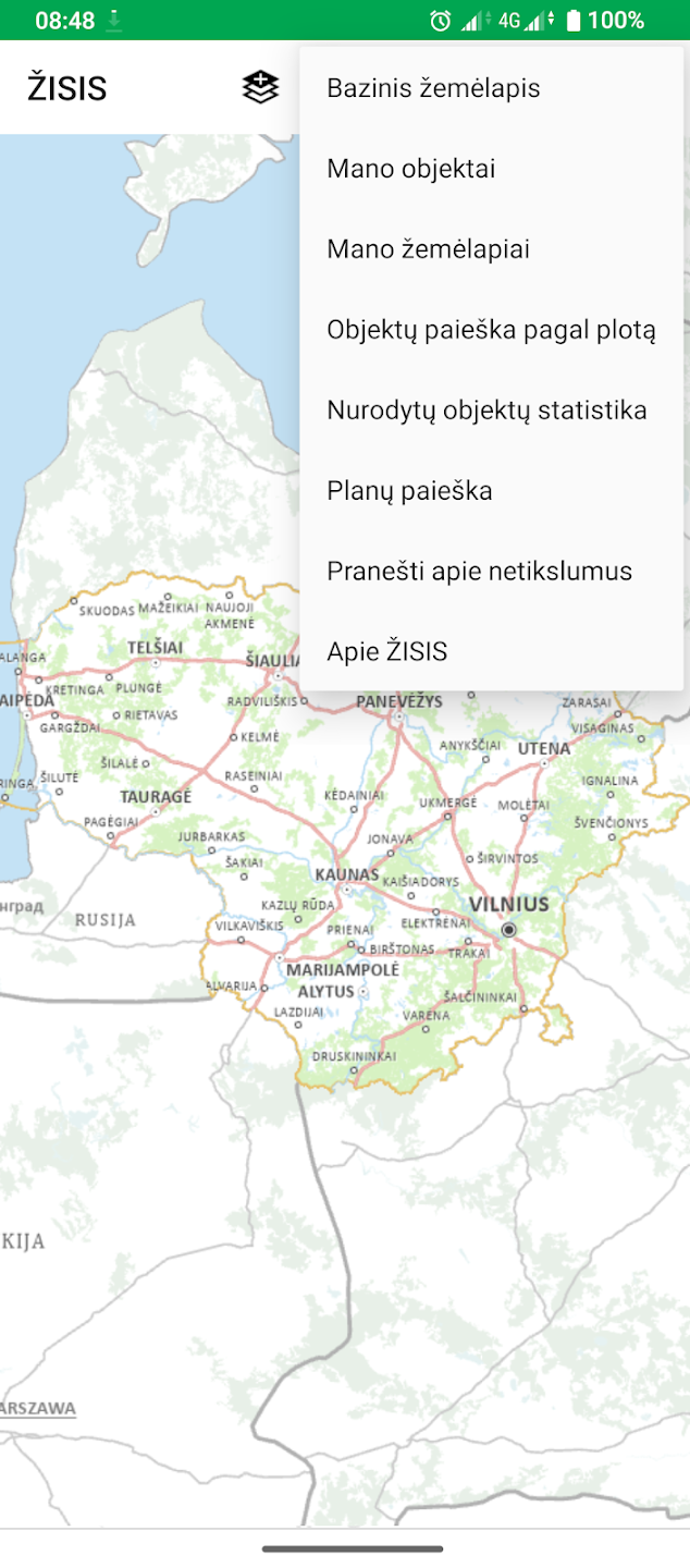
LRMIS application is intended for devices running Google Android, Microsoft Windows and Apple iOS operating systems. In the application, you will be able to view and use LRMIS data, analyze them in relation to each other, and perform other actions on the map.


